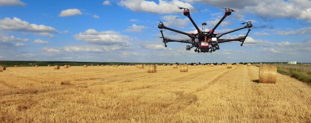
Use satellite multispectral data, fly with a piloted aircraft or fly drones over the inspected field. No matter what brand UAV is used, whether DJI, SenseFly, Parrot or an other. Many of them can be adapted to Altum, RedEdge-MX, RedEdge-M, RedEdge or a Parrot Sequoia multispectral camera. See the tutorial video.