With AGRO Inspector you can analyse:
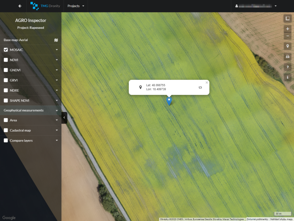
- Aerial localisation (GPS) of damaged crops
- Immediate intervention of agronomists with a recommendation for the identified problems (water stress, chlorophyll)
- An estimate of the expected harvest, biomass condition after winter
- Determining the exact volume of fertilisers (nitrates), according to the needs of crops – targeted fertilisation
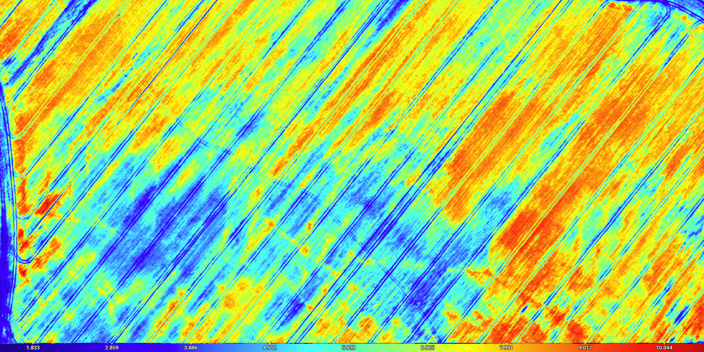
- Detection of nitrates
- Optimisation of consumed fertiliser, which is reflected not only in cost reduction but also the state of the environment
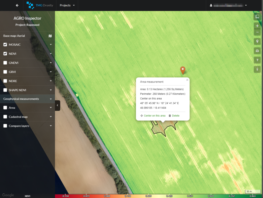
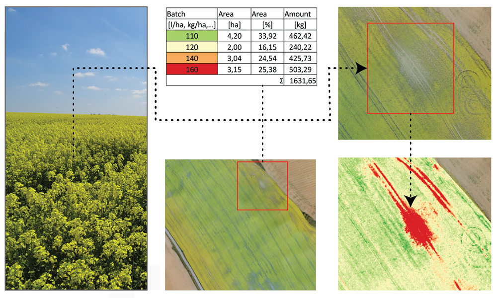
- Marking the damaged part of the field and measurement the size of the damage area
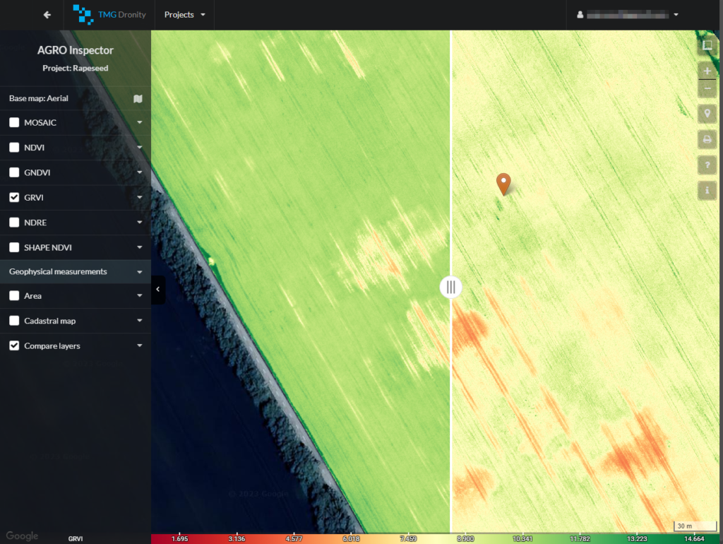
- Comparison of various analytical maps – in the example, a map of the health and vitality of rapeseed compared to a map detecting biomass content or nitrogen contant in the vine in two different periods, before and after fertilization
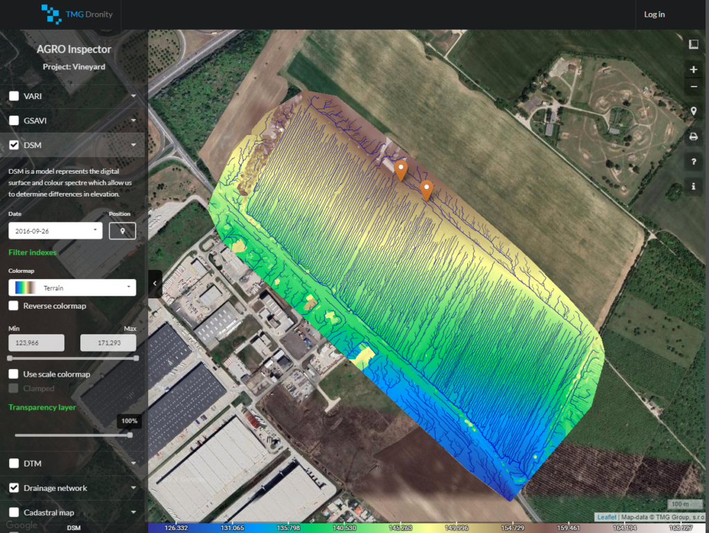
- Digital terrain model with drainage network will help you with construction of drainage channels
- In the application you can identify the boundaries of parcels and their size
See the tutorial video.
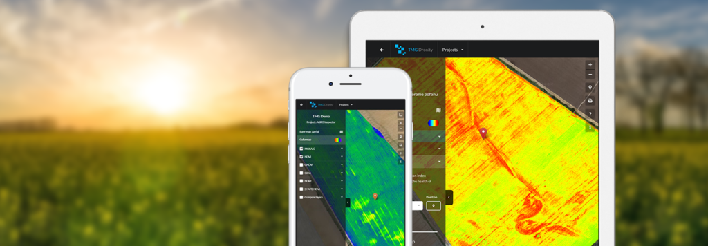
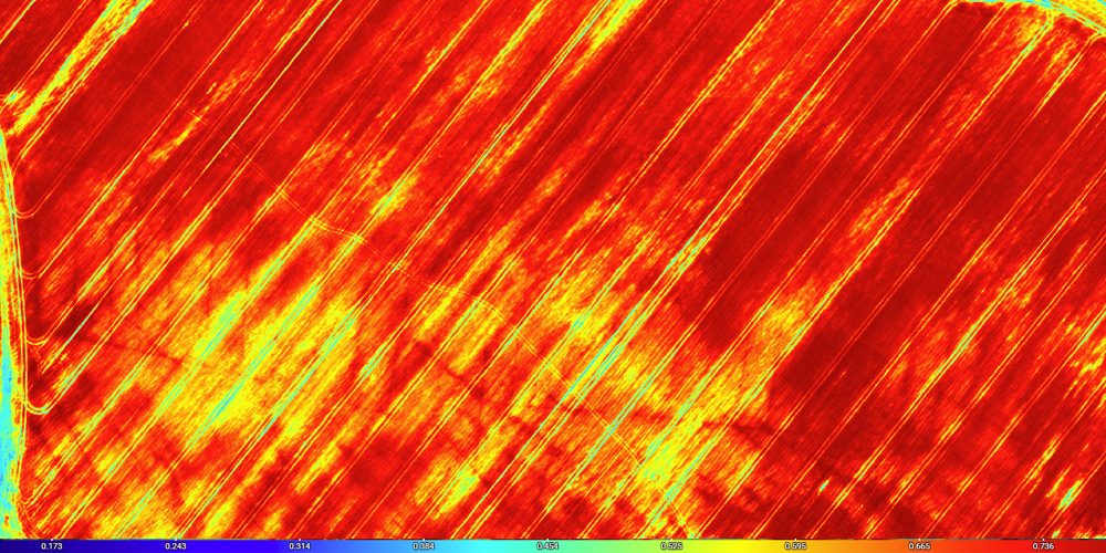
Crop vitality and detection of damaged areas
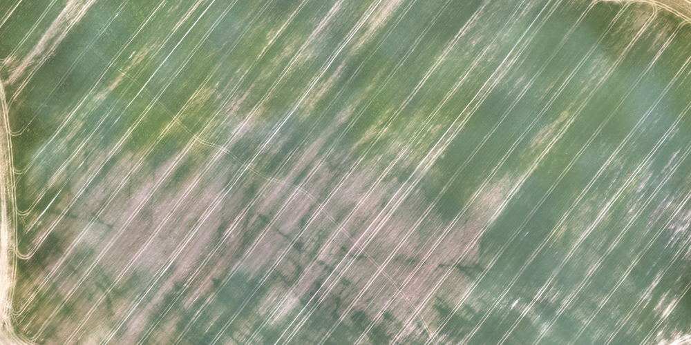
- Detailed view of a managed area on orthophoto with a resolution up to 1 cm / px
- Simultaneous identification of crop health
Aerial localization (GPS) of damaged crops
Marking the damaged part of the field and measurement the size of the damage area
Comparison of various analytical maps – in the example, a map of the health and vitality of rapeseed compared to a map detecting biomass content
Digital terrain model with drainage network in the vineyard will help you with construction of drainage channels
In the application you can identify the boundaries of parcels and their size

NDVI is a general vegetation index detecting the vitality and the health of crops.

GNDVI is used for detection of water and nitrogen content in crops.
GRVI is used to monitor of biomass content in plants.
NDRE is sensitive to chlorophyll content in crops, is used at the beginning and at the end of growing season.

Recommendation for fertilization
Data upload for agro-machines for precise fertilization
